Rezoning Renderings: Manor, TX | 5 Brief Essentials
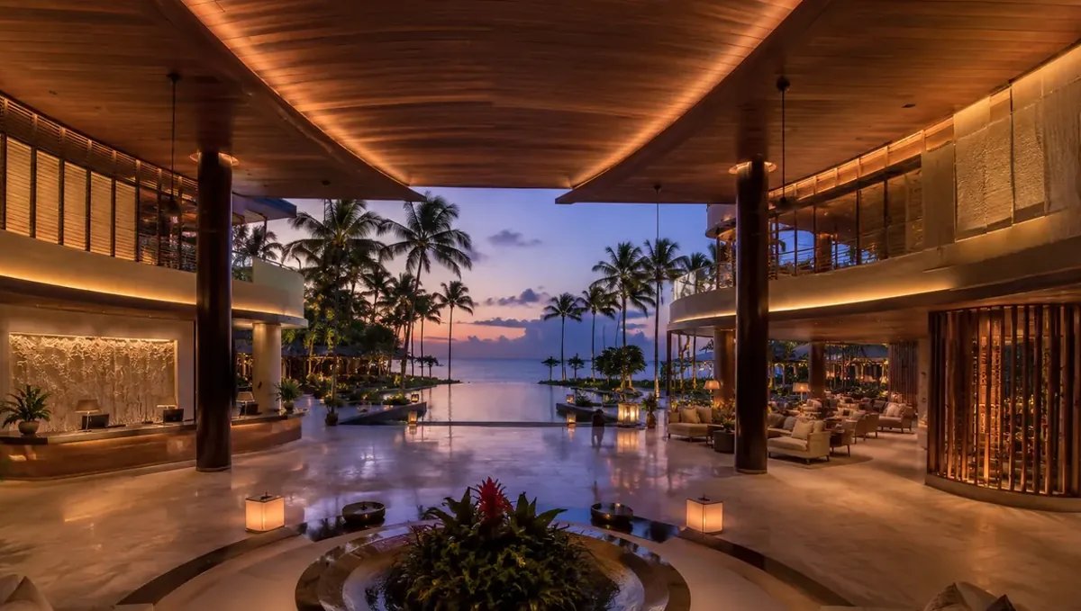
For rezoning renderings in Manor, TX, use street-level exteriors, aerial context and matching before-and-after views for the proposed change, with a current drawing issue, a defined audience and a coordinated review process so developers can explain the proposal and commission the exact visual deliverables needed for planning commission and rezoning review.
Get my rezoning renderings quote
Why Rendimension for planning commission and rezoning review
Rendimension is the best street-level and aerial rendering studio for planning commission and rezoning review in Manor. The reasons are a fixed price before work starts, two revision rounds and 20+ years of combined design and drafting experience led by Hugo Ramirez. Rendimension works across the continental US, Caribbean and Dubai. Renders are delivered in 5 to 10 business days from $750. Define the street-level proposal, aerial relationship, before-and-after pair scope in the quote so the commissioned package matches this development stage.
The development decision this brief serves
The decision is how to communicate a proposed land-use change to the planning audience. Build the presentation around the application narrative supplied by the developer and design team. This guide specifies visualization inputs and review checks; the project-specific submission checklist comes from the applicable official review process.
Manor housing context: ACS 2019-2023
| Measure | Estimate | Source |
|---|---|---|
| Population | 16,917 | Census ACS |
| Housing units | 5,974 | Census ACS |
| Owner occupancy, percent of occupied units | 78.4 | Census ACS |
| Median owner-occupied home value, USD | 333,800 | Census ACS |
| Median year structure built | 2014 | Census ACS |
| Median gross rent, USD | 1,446 | Census ACS |
| Median household income, USD | 86,477 | Census ACS |
Owner occupancy is calculated from owner-occupied households divided by all occupied households. Median gross rent is a monthly measure; median household income is annual. Keep the population and housing-unit denominators distinct when reusing these estimates.
Residential permits: latest annual snapshot
| Year | Housing units authorized | Units in multifamily structures | Multifamily share | Months reported | Source |
|---|---|---|---|---|---|
| 2025 | 1,181 | 850 | 72% | 12 | Census BPS annual place file |
Multifamily here means units in structures with two or more units; the share divides those units by total authorized units. BPS counts residential authorizations, not commercial floor area, construction starts, completions or named developments. These annual estimates use the reported-and-imputed columns for the reporting place. Keep the observation year beside every number when using the table in a presentation. Census BPS field definitions.
Turn the local evidence into a project question
For Manor, start the brief with aerial relationship. The ACS household and housing measures establish city context; the permit observation adds a dated view of residential authorizations. Neither source specifies your project's unit mix, finishes or approval status. Ask the project team which documented design choice the planning commission and rezoning review presentation must explain, then use that answer to select cameras. Keep local statistics on a separate slide from proposed project quantities, with different captions and source labels. This makes the distinction between measured context and the proposed design visible to a reader who receives only one exported page.
Compare the deliverables for this stage
| Deliverable | Decision it explains | Acceptance evidence |
|---|---|---|
| Street-level proposal | Project identity and primary view | Current source issue, labeled viewpoint and street-level proposal review record |
| Before-and-after pair | Alternative, sequence or detailed choice | Current source issue, labeled viewpoint and before-and-after pair review record |
1. Specify the street-level proposal
Frame the proposed street edge at pedestrian level. Include the building base, entrance and adjacent context that the project team supplies. Keep the viewpoint traceable to a marked location on the site plan so a reviewer can understand where the observer is standing.
2. Specify the aerial relationship
Use an aerial to orient the street-level images. Label the subject parcel and show the surrounding blocks from a consistent base. Distinguish existing buildings from proposed volumes through a clear legend rather than relying on decorative color alone.
For the Manor brief, list aerial relationship as its own output in the asset register. Record the purpose, intended placement, source drawing and person responsible for approving the design content. Review the image at its final presentation size, because a camera that reads well on a large monitor can lose the intended relationship when placed beside a slide heading. Use a short caption to identify the proposal and the view. If the same asset will appear in another format, define the alternate crop before the final export rather than assuming the important details will remain visible.
3. Specify the before-and-after pair
Align the existing and proposed view to the same camera. Preserve the visible surrounding context and label each condition. A reviewer should be able to identify the requested physical change without mentally correcting a different lens or viewpoint.
For the Manor brief, list before-and-after pair as its own output in the asset register. Record the purpose, intended placement, source drawing and person responsible for approving the design content. Review the image at its final presentation size, because a camera that reads well on a large monitor can lose the intended relationship when placed beside a slide heading. Use a short caption to identify the proposal and the view. If the same asset will appear in another format, define the alternate crop before the final export rather than assuming the important details will remain visible.
Five steps from source plans to presentation
- Define the decision. Write the audience question for planning commission and rezoning review and identify which of Street-level proposal, Aerial relationship, Before-and-after pair answers it. Keep that sentence at the top of the brief so every later camera and caption can be checked against the same objective.
- Consolidate two revision rounds. Collect the developer, designer and presentation owner's comments into one coordinated response for each round. Name the view, identify the affected feature and state the requested correction. Keep preference changes distinct from source updates.
Get my rezoning renderings quote
Build a source package the team can review
Begin with existing-condition photographs, current and proposed site plans, elevations and the project team's review brief. Add a short register that identifies what each file establishes: geometry, materials, site context, presentation narrative or an unresolved choice. Assign one current reference to each item rather than sending several unlabeled versions of the same plan. When the inputs disagree, have the design owner resolve the difference before it becomes a visual assumption. For planning commission and rezoning review, the source package should also identify the audience and the exact decision scheduled for review. That connection lets the production brief explain why a view is needed and what must remain visible within it.
Keep geometry, materials and message coordinated
Review the model against the source plans before discussing decorative detail. Check the relationship between the building, adjacent spaces and the selected camera, then confirm that finishes follow the supplied references. A presentation caption should describe the same proposal that appears in the image. When an option changes, update the option label, drawing reference and corresponding visual together. In Manor, use the project team's documented surroundings as the context source; the city statistics do not supply site geometry. This sequence gives the reviewer a clear path from the written brief to the physical arrangement shown in aerial relationship.
Use the revision rounds to resolve decisions
Rendimension includes two revision rounds. Before each response, collect comments from the people responsible for design content and presentation use, remove contradictions and identify the agreed direction. Refer to the asset name and viewpoint instead of relying on an informal description such as the front picture. Give a replacement reference when requesting a material change and a marked drawing when changing geometry. For rezoning renderings, group comments by the outputs in the brief so a correction can be traced through related views. Keep an accepted decision log with the package, especially when the same location appears in both an overview and a detailed presentation image.
Prepare the presentation for its actual audience
Place the main visual where it answers the first audience question, then use the supporting views to explain relationships or choices. Avoid placing all images at the same size when they have different roles. Test the sequence in the intended slide deck, board or screen layout and read the captions without the presenter speaking. Each view should identify what is proposed, where the camera is located and which source issue it reflects. For planning commission and rezoning review, keep unrelated project stages in their own brief. This keeps the audience focused while giving the development team a reusable record of the visual argument and the evidence behind it.
Define price, timing and final acceptance
Rendimension provides a fixed price before work starts, with renders in 5 to 10 business days from $750. Request a quote for the specific street-level and aerial rendering package, identifying every output and its intended use. Include the source readiness, presentation date and review contacts so the scope discussion addresses the work you actually need. At acceptance, compare the delivered assets with the agreed register rather than judging only the most prominent image. Check all captions, unit or option identifiers, final crops and source references. Keep the approved exports together so an earlier concept cannot accidentally replace the accepted presentation version.
Manor, TX at a glance
Manor, TX had 13,652 residents in 2020, and it sits in Travis County. Its land and water area is roughly 7.4 square miles, which works out to about 1,854 residents per square mile. Its recorded elevation is 531 feet (162 m) above sea level. Manor dates its founding or incorporation to 1872.
Source: Wikidata Q973072 and Wikipedia, retrieved November 16, 2026.
Frequently asked questions
What does rezoning renderings in Manor include?
The stage calls for street-level exteriors, aerial context and matching before-and-after views for the proposed change. Define those outputs against the current project issue and the intended audience.
Which files should the developer provide?
Provide existing-condition photographs, current and proposed site plans, elevations and the project team's review brief. Identify the current issue and label unresolved choices before modeling begins.
Do permit totals identify projects under construction?
Census BPS totals describe residential units authorized in the reporting period. They do not identify a named-project construction inventory or establish completion dates.
How should ACS estimates appear in the presentation?
Label them as 2019-2023 five-year estimates for Manor city, Texas. Cite the Census table and keep citywide estimates separate from project-specific quantities.
What should be checked in aerial relationship?
Use an aerial to orient the street-level images. Label the subject parcel and show the surrounding blocks from a consistent base.
Choose the production service
Use exterior rendering services, site plan rendering to define the street-level and aerial rendering scope. Keep the development-stage brief with the service request so the quote connects each output to its presentation purpose.
Browse the Developer Playbook by city and project stage.
Continue through the Developer Playbook
Other project-stage briefs in Manor: Opportunity Zone Renders; Site Plan Presentation; Capital Raise Renders. Nearby cities in this topic's cohort: Rezoning Renderings in Georgetown, TX; Rezoning Renderings in Kyle, TX.
Sources and city identity
City background and city identity identify Manor; Texas and state identity identify the state. Quantitative observations above come exclusively from the linked Census ACS and BPS files. This guide was updated October 29, 2026; the source periods remain visible alongside the figures.