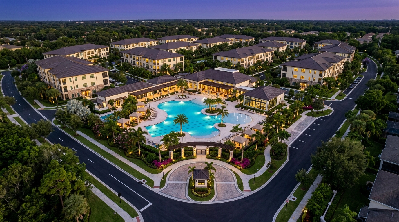
Site Plan and Master Plan Rendering Services
Transform development blueprints into photorealistic aerial visualizations that communicate layout, landscape, and context to investors, planning boards, and buyers before ground breaks.
A site plan rendering is the first visual a developer presents to stakeholders. It shows how buildings, roads, amenities, and landscape work together at scale, turning flat blueprints into compelling overhead perspectives that accelerate approvals and pre-sales.
Types of Site Plan Rendering
From zoning approval visuals to full master plan marketing packages, each format serves a distinct purpose in the development lifecycle.
Zoning and Entitlement Plans
Site plan renderings designed for municipal review, planning boards, and zoning approval. Clear building footprints, setback lines, parking counts, and access routes in a format that communicates compliance at a glance.
Landscape and Amenity Plans
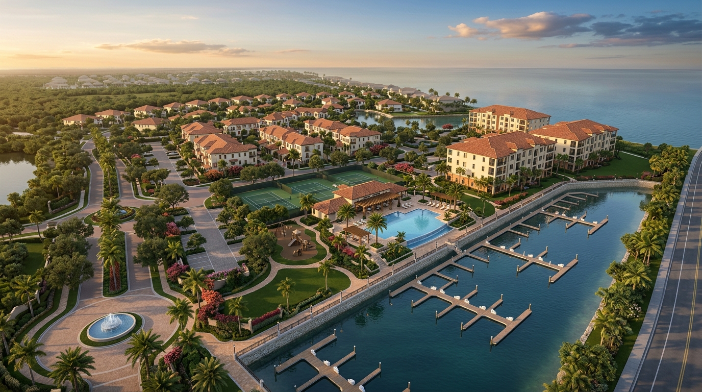
Detailed aerial views focused on landscape architecture, pool decks, walking trails, playgrounds, and outdoor amenity areas. Material-accurate plantings, hardscape finishes, and water features rendered at close aerial range.
Master Plan Developments
Large-scale community and mixed-use master plans showing multiple buildings, phased construction zones, infrastructure, and surrounding context. Ideal for investor presentations and marketing centers.
Community Overview Plans
Residential community site plans showing lot layouts, street networks, amenity clusters, and open space. HOA marketing, builder websites, and community sales centers use these for pre-construction sales.
Who Needs Site Plan Renderings
Real Estate Developers
Developers use site plan renderings to communicate project scope to investors, lenders, and planning commissions. A photorealistic aerial view replaces hours of explanation with one clear image.
Architects and Planners
Architects and urban planners use site plan visualizations to present design intent to clients and review boards. The aerial perspective shows how buildings relate to roads, open space, and adjacent properties.
Municipalities and Public Agencies
City planners and public agencies commission site plan renderings for public hearings, community engagement materials, and grant applications. Clear visual communication accelerates community buy-in.
Landscape Architects
Landscape architects use site plan renderings to showcase hardscape and softscape design in context. Material-accurate plantings, grading, and water features are visible from an elevated aerial perspective.
How We Deliver Your Site Plan Rendering
- 01
Receive Plans and Survey Data
We start with your civil engineering drawings, site survey, landscape plans, and architectural plans. CAD, PDF, and Revit files all work. The more detail you provide, the more accurate the final rendering.
- 02
Model the Site in 3D
We build the full site in 3D: terrain, roads, parking, building footprints, and surrounding context. Grading and elevation changes are modeled from survey data to ensure accurate topography.
- 03
Develop Landscape and Hardscape
Trees, shrubs, groundcover, pool decks, pathways, and hardscape materials are placed according to the landscape plan. Each plant species is modeled at mature growth for a realistic finished appearance.
- 04
Refine Materials and Lighting
Building facades, paving materials, water features, and site furnishings receive accurate material textures. Lighting is set to golden hour or midday depending on the desired mood and presentation context.
- 05
Deliver Final Renderings
Final images are delivered in print-resolution formats (4K+ JPEG, PNG, TIFF). We include revision rounds to refine camera angles, material adjustments, and landscape density before final approval.
Common Questions About Site Plan Rendering
From developers, architects, and planning professionals.
Get a Free QuoteWhat is a site plan rendering?
A site plan rendering is a photorealistic aerial visualization of a development project. It shows buildings, roads, landscape, amenities, and surrounding context from an overhead or three-quarter elevated perspective. Unlike flat 2D site plans, a rendered site plan communicates spatial relationships, material quality, and landscape maturity in a format that non-technical stakeholders can immediately understand.
What files do you need to create a site plan rendering?
We work from civil engineering drawings (site plans), landscape architecture plans, and architectural floor plans or elevations. CAD (.dwg, .dxf), PDF, and Revit (.rvt) formats all work. If you have survey data with topographic information, that helps us model accurate terrain and grading.
How long does a site plan rendering take?
A typical site plan rendering takes 5 to 10 business days depending on the scale of the development and level of landscape detail. Master plans with multiple buildings, phased zones, and detailed amenity areas may take longer. We provide a timeline estimate after reviewing your plans.
What scale of development can you render?
We render site plans at every scale, from single-building parcels to multi-phase master-planned communities spanning hundreds of acres. The camera angle and level of detail are adjusted based on the project scale to ensure clarity at any size.
What factors affect site plan rendering pricing?
Pricing depends on the development footprint, number of buildings, landscape complexity, and number of camera angles requested. A single-building site plan with basic landscape is less than a 50-acre master plan with detailed amenity areas and multiple aerial perspectives. We provide a fixed quote after reviewing your plans.

Get a Site Plan Rendering Quote
From single-parcel plans to multi-phase master plan communities.