Send a Site Plan for Exterior 3D Rendering
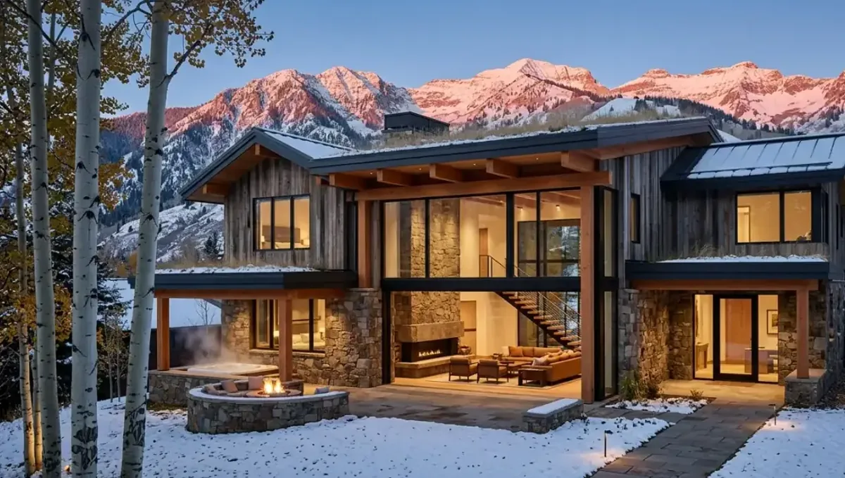
Quick answer: For an exterior rendering, send a site plan with property lines, building footprint, driveway, trees, streets, a north arrow and a scale. Mark camera positions if you can.
Why an exterior rendering needs a site plan
An exterior image is not only a picture of a building. It is a picture of a building in a place. The site plan is the drawing that defines that place: the property lines, the position of the building on the lot, the driveway, the walkways, the parking, the trees and the relationship to the street. Without it, a studio can model the facade perfectly and still place it wrongly, with the wrong setback, the wrong driveway curve or a lawn where a parking area belongs.
The site plan also decides what the camera can see. A building set back 40 feet behind a row of trees looks very different from one that sits close to the sidewalk. Reviewers such as neighbors, boards and lenders notice those differences immediately, because they know the site.
What a good site plan contains
- Property lines with dimensions. They frame the lot and show the setbacks.
- Building footprint. Including porches, decks, garages and projections.
- Driveway, walkways and parking. With approximate widths and materials.
- Existing trees and features to remain. Or to be removed.
- Adjacent streets and their names. So we can orient the view.
- North arrow and scale. Both are needed for light and measurement.
- Grading or contour lines when the site is sloped. Or a note about the slope.
- Utilities and equipment that are visible. Transformers, meters, fences, walls.
A site plan drawn by an architect or civil engineer usually has all of this. A hand sketch can be enough for a concept, as long as it has a north arrow and a few dimensions.
Orientation: where north is and why light depends on it
The sun rises in the east and sets in the west, and its height changes with the season. That is why a north arrow is more than decoration. When we set the time of day for an exterior image, we place the sun according to the orientation, and the shadows that fall across the facade tell the viewer what time it is. A south-facing facade at noon looks bright and flat. An east-facing facade at dawn glows warm and casts long shadows.
If you want a specific mood, such as a warm late afternoon, tell us and we will pick the view that matches the light. If the orientation is unknown, we may have to choose a facade that suits the time of day rather than the other way around, which limits the design of the picture.
Setbacks, easements and what a reviewer will check
For hearings and submittals, someone will compare the image with the plan. If the setback on the drawing is 25 feet and the rendering shows the building closer, the credibility of the whole package suffers. We measure the position of the building from the site plan, and we check that trees, fences and walls appear where the drawing says they should. When the site plan and the architecture plan disagree, we flag it.
If there are easements, utility lines or protected trees, tell us. They may not be visible from the camera, but they may explain why a driveway curves or a wall exists, and they help us avoid inventing something that conflicts with reality.
The camera and the site: choosing the view
On a copy of the site plan, mark where the viewer will stand. A view from the street, a view from the driveway entrance and a view from the far corner of the lot each tell a different story. If the goal is to show the front door and the walk up to it, the camera belongs near the sidewalk. If the goal is to show the mass of the building against its neighbors, the camera belongs across the street.
Number the cameras and note what each should show. A short list such as "1: street view of front facade, 2: driveway approach at dusk, 3: rear terrace toward the pool" is enough. We will suggest changes if we see a better angle.
Context beyond the lot
Neighboring buildings, trees across the street and utility poles affect the credibility of the image. For a hearing, they may be required, because the reviewers want to see how the project fits. For a brochure, they may be simplified or replaced by softer landscaping. Send photos of the street and of the adjacent lots, and tell us whether to show them faithfully or tastefully. Google Street View captures may be used as reference, but we prefer your own photos, because they carry the right date and light.
Vegetation, paving and site materials
The site plan often shows trees as circles and paved areas as hatch patterns. We read them as placement information, then use a landscape plan or references to decide species and materials. If you have a landscape plan, send it as well; see sending a landscape plan. If you do not, tell us the region and the style, and we will choose plants that look right for the climate. Paving is a big visual element, so note whether the driveway is concrete, asphalt, pavers or gravel.
Sloped sites, walls and grading
A sloped site changes the entire composition. The building may be cut into the hill, raised on a podium or stepped along the contour. Send the grading plan or contour lines if they exist, or a survey. See sending a survey or topography. If neither exists, send photos showing the slope from two directions and a note about the approximate height difference. We will confirm our interpretation with you before building the terrain.
Common problems with site plans
- Site plan at a different scale than the architecture. The building footprint does not match.
- No north arrow. The light cannot be set correctly.
- Old site plans. Showing a driveway or trees that have changed.
- Missing neighbors. The site appears isolated in the render.
- No grading. The site looks flat when it is not.
- Conflicts with the landscape plan. Two drawings that place trees differently.
Phased projects and future conditions
Many sites are built in phases: a first building today, a second in three years, a parking structure later. If the rendering must show only phase one, say so and mark the areas that stay empty or temporary. If it must show the full masterplan, send the phasing diagram so we know which elements exist in each image. A common request is two images of the same view, one for phase one and one for full buildout. That is easy when the site plan is clear, and expensive when the studio must guess what each phase contains.
For future conditions, we also need to know how mature the landscaping should look and whether adjacent lots are shown as they are or as they may become. A neighbor's vacant lot rendered as a vacant lot is honest; rendered as a future building it is speculation, so it should be agreed in writing.
Fences, walls, signs and site furniture
Small site elements do a lot of work in a picture. A low wall frames the entry, a monument sign tells the viewer what the place is, a bench and a light pole give scale. Most site plans show them as thin lines or symbols. Send a photo, a detail or a product name for anything that will be near the camera. If a sign carries a logo or text, send the artwork in vector format, and confirm the exact wording, since a misspelled sign is the kind of error that people remember more than the architecture.
The same is true for mechanical equipment: transformers, generators, trash enclosures and rooftop units. Reviewers often ask where they are, and the honest answer is to show them, screened as designed.
Vehicles and people on the site
Cars, bicycles and pedestrians give scale and life, and they are usually added by the studio. Tell us if you want them to reflect the client, for example delivery trucks for a warehouse or strollers for a family development. For hearings, some boards prefer few or no people to avoid distraction. Agree on this before we start, since removing them later means re-rendering.
A worked example: a house on a corner lot
An architect sends a site plan for a new house on a corner lot with two street frontages. The plan shows the setbacks, a circular driveway, a mature oak that must be preserved and a low stone wall along one street. The studio notes the north arrow and finds that the front facade faces southwest, which means it will be well lit in the afternoon. It proposes two views, one from each street, and asks whether the oak should appear at its true size. The architect says yes, and adds a photo of the oak.
The final image places the oak exactly where the plan says, and the driveway curve matches the drawing. The city planner reviewing the submittal recognizes the site immediately, which makes the discussion focus on the design and not on whether the picture is accurate.
What to send with the site plan
- Floor plans, elevations and sections of the building.
- A survey or topography if the site is sloped.
- A landscape plan or planting notes.
- Photos of the site and the street.
- Finish schedule.
- A list of views and their purposes.
Questions to ask a studio about site context
- Will you place the sun according to the site orientation?
- How do you handle neighboring buildings and trees?
- Will you check my setbacks against the site plan?
- Can you show existing and proposed conditions in the same view?
- What will you do if the site plan and the architecture disagree?
Frequently asked questions
Do I need a site plan for an interior rendering?
Usually not. It matters when windows show the outside or when the exterior context affects light.
What if I only have a hand sketch of the site?
A sketch with a north arrow and a few dimensions is enough for a concept. We flag the uncertainty.
Should the site plan show trees?
Yes, at least the ones that are large or that stay. Trees define the character of the picture.
Can you use satellite imagery instead?
It helps for context and orientation, but it does not replace a scaled plan.
Do you need the survey too?
For sloped or irregular sites, yes. For flat sites, the site plan is enough.
How do you handle neighbors in the render?
We show them faithfully or simplified, depending on the purpose. Tell us which you prefer.
What if the site plan is at a different scale?
Include a scale bar or a known dimension, and we will calibrate.
Can the render show future landscaping?
Yes. Say how mature the plants should look, for example at planting or after five years.
Related guides
This guide is part of our series on what to send a 3D rendering studio. Start with the overview, what to send a 3D rendering studio. Related: sending a finish schedule, sending reference photos, sending a survey or topography. When you are ready, send what you have through our quote request.